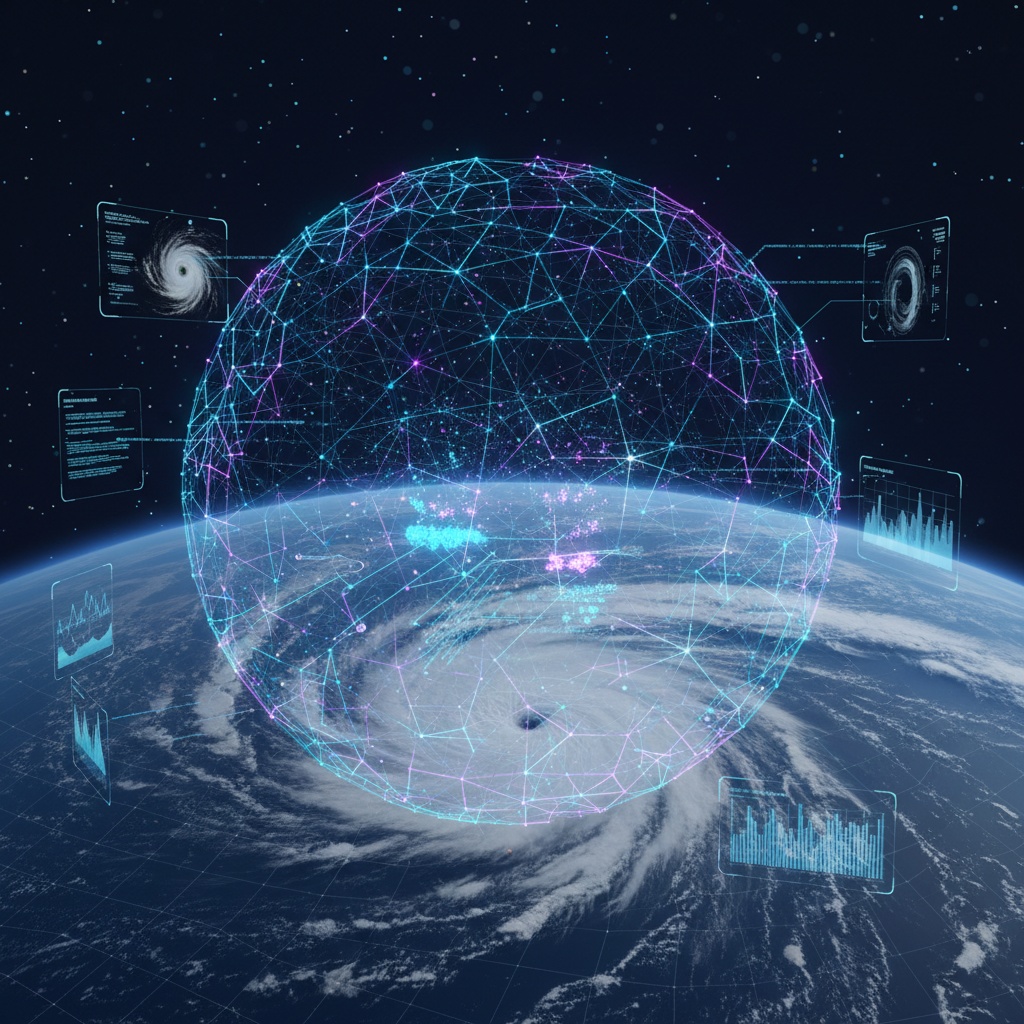
Cyclone from space
Advanced Weather Forecasting

AI-Powered Cyclone
Forecasting System

Leveraging Vision Transformers, MLOps, and Spatial Analysis for real-time cyclone prediction with 12-24 hour lead time advantage

Overview

Next-Generation Weather Intelligence

Our AI-powered cyclone forecasting system combines cutting-edge computer vision, machine learning operations, and spatial analysis to deliver unprecedented accuracy in severe weather prediction.

By processing real-time INSAT satellite data through Vision Transformers and integrating topographical information via CartoDEM, we provide localized, high-resolution forecasts that give communities critical time to prepare.

5km

Resolution

12-24h

Lead Time

Pan-India

Coverage

AI Analysis Visualization
Core Technology

Integrated Components

Four powerful modules working in harmony to deliver accurate, real-time cyclone forecasting

Computer Vision

Advanced image analysis and feature extraction using state-of-the-art deep learning models

Technologies:

Vision Transformers (ViTs)
PyTorch
OpenCV
ESRGAN

Capabilities:

  • Automated cloud pattern analysis
  • Wind speed estimation
  • Cyclone intensity assessment
  • Eye movement tracking
  • Image upscaling and enhancement

MLOps

Enterprise-grade machine learning operations for scalable model deployment and monitoring

Technologies:

Azure Machine Learning

Capabilities:

  • Comprehensive data management
  • Model development and training
  • Automated deployment pipelines
  • Real-time monitoring and alerts
  • Seamless system integration

Spatial Analysis

Multi-dimensional geospatial data processing for accurate weather pattern analysis

Technologies:

Xarray
GeoPandas
SciPy

Capabilities:

  • N-dimensional data analysis
  • NetCDF file processing (ERA5/INSAT)
  • Geospatial computations
  • Topographical analysis
  • Regional risk assessment

Web Interface

User-friendly, accessible interface for data visualization and interaction

Technologies:

Leaflet
Solara

Capabilities:

  • Interactive mapping
  • Real-time data visualization
  • Multilingual support
  • Intuitive dashboard design
  • Mobile-responsive layout
India Vulnerability Map
Key Functionality

Precision, Speed, and Accessibility

Our system delivers three critical advantages that set it apart in weather forecasting technology.

High Accuracy

Spatially Segmented Modeling integrated with CartoDEM enables the model to differentiate risk across different topographies, providing high-resolution, localized, and accurate outputs.

5km resolution with topography-aware predictions

Lead Time Advantage

Real-time analysis of INSAT satellite data through Vision Transformers directly into Graph Neural Networks, providing critical early warning capabilities.

12-24 hour prediction advantage

Accessibility

Multilingual user-friendly interface designed for public access, featuring clear graphs and vulnerability maps for better understanding and decision-making.

Inclusive design for diverse user groups

Data Sources

Comprehensive Dataset

Powered by multiple authoritative data sources for robust and reliable predictions

Labeled Historical Data

ERA5

Comprehensive historical weather reanalysis data for model training and validation

Satellite Imagery

INSAT-3D

Real-time high-resolution satellite observations for current weather monitoring

Meteorological Data

IBTrACS

International Best Track Archive for Climate Stewardship cyclone database

Geospatial Data

CartoDEM

Digital elevation model for terrain-aware risk assessment and modeling

Scalability

Built for the Future

The core architecture is a modular, general-purpose platform designed for Pan-India coverage at 5km resolution, with easy adaptability for forecasting other severe weather events.

Modular Architecture

Easily extensible to forecast flash floods, heatwaves, and other severe weather events with specific training and datasets

Cross-Sector Collaboration

Clear path for integration with agriculture, energy, and aviation sectors, focusing on sustainable cooperation

Dashboard Interface
Architecture

System Workflow

End-to-end pipeline from data ingestion to actionable insights

1

Data Ingestion

ERA5, INSAT-3D, IBTrACS, CartoDEM

2

AI Processing

ViTs, GNN, Spatial Analysis

3

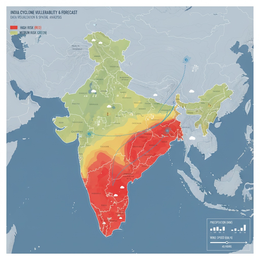
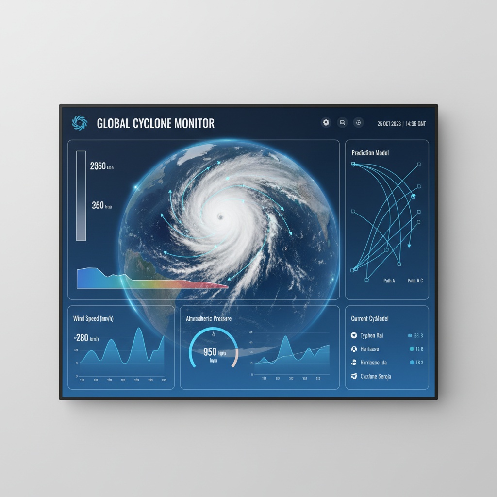
Prediction & Visualization

Real-time forecasts, vulnerability maps

Ready to Explore the Technology?

Dive into the codebase, explore the architecture, and see how AI is transforming weather forecasting